 ';
Zoom
- Center<i class="fa fa-angle-right"></i><i class="fa fa-angle-down"></i>
- Our Team<i class="fa fa-angle-right"></i><i class="fa fa-angle-down"></i>
- Our facilities<i class="fa fa-angle-right"></i><i class="fa fa-angle-down"></i>
- Our Commitments ><i class="fa fa-angle-right"></i><i class="fa fa-angle-down"></i>
- Purpose, mission and vision<i class="fa fa-angle-right"></i><i class="fa fa-angle-down"></i>
- Quality Policy<i class="fa fa-angle-right"></i><i class="fa fa-angle-down"></i>
- R&D&I policy<i class="fa fa-angle-right"></i><i class="fa fa-angle-down"></i>
- SDG commitment and RSA+<i class="fa fa-angle-right"></i><i class="fa fa-angle-down"></i>
- Equality Plan<i class="fa fa-angle-right"></i><i class="fa fa-angle-down"></i>
- Privacy Policy<i class="fa fa-angle-right"></i><i class="fa fa-angle-down"></i>
- Areas<i class="fa fa-angle-right"></i><i class="fa fa-angle-down"></i>
- Training ><i class="fa fa-angle-right"></i><i class="fa fa-angle-down"></i>
- Teachers<i class="fa fa-angle-right"></i><i class="fa fa-angle-down"></i>
- Aeducar CIFPA<i class="fa fa-angle-right"></i><i class="fa fa-angle-down"></i>
- Training stays in companies<i class="fa fa-angle-right"></i><i class="fa fa-angle-down"></i>
- Unemployed<i class="fa fa-angle-right"></i><i class="fa fa-angle-down"></i>
- Teachers<i class="fa fa-angle-right"></i><i class="fa fa-angle-down"></i>
- Innovation ><i class="fa fa-angle-right"></i><i class="fa fa-angle-down"></i>
- Innovation projects ><i class="fa fa-angle-right"></i><i class="fa fa-angle-down"></i>
- CIFPA Initiatives<i class="fa fa-angle-right"></i><i class="fa fa-angle-down"></i>
- Autonomous<i class="fa fa-angle-right"></i><i class="fa fa-angle-down"></i>
- National<i class="fa fa-angle-right"></i><i class="fa fa-angle-down"></i>
- Innovation Map<i class="fa fa-angle-right"></i><i class="fa fa-angle-down"></i>
- Cycles A.0<i class="fa fa-angle-right"></i><i class="fa fa-angle-down"></i>
- InnovaDocs (resources)<i class="fa fa-angle-right"></i><i class="fa fa-angle-down"></i>
- Innovation projects ><i class="fa fa-angle-right"></i><i class="fa fa-angle-down"></i>
- Internationalisation ><i class="fa fa-angle-right"></i><i class="fa fa-angle-down"></i>
- Erasmus + Policy<i class="fa fa-angle-right"></i><i class="fa fa-angle-down"></i>
- Mobility Consortia ><i class="fa fa-angle-right"></i><i class="fa fa-angle-down"></i>
- Intermediate<i class="fa fa-angle-right"></i><i class="fa fa-angle-down"></i>
- Superior Grade<i class="fa fa-angle-right"></i><i class="fa fa-angle-down"></i>
- European Projects ><i class="fa fa-angle-right"></i><i class="fa fa-angle-down"></i>
- InclusiVET<i class="fa fa-angle-right"></i><i class="fa fa-angle-down"></i>
- DIGinLOGS<i class="fa fa-angle-right"></i><i class="fa fa-angle-down"></i>
- Logistics Digitalization Itinerary<i class="fa fa-angle-right"></i><i class="fa fa-angle-down"></i>
- KA107<i class="fa fa-angle-right"></i><i class="fa fa-angle-down"></i>
- Simultra<i class="fa fa-angle-right"></i><i class="fa fa-angle-down"></i>
- Collaborative space<i class="fa fa-angle-right"></i><i class="fa fa-angle-down"></i>
- Accreditation of Competencies ><i class="fa fa-angle-right"></i><i class="fa fa-angle-down"></i>
- CAP Training<i class="fa fa-angle-right"></i><i class="fa fa-angle-down"></i>
- CAP Calls<i class="fa fa-angle-right"></i><i class="fa fa-angle-down"></i>
- Espacios y recursos<i class="fa fa-angle-right"></i><i class="fa fa-angle-down"></i>
- Otras<i class="fa fa-angle-right"></i><i class="fa fa-angle-down"></i>
- Career Guidance ><i class="fa fa-angle-right"></i><i class="fa fa-angle-down"></i>
- FP employs<i class="fa fa-angle-right"></i><i class="fa fa-angle-down"></i>
- Choose your Profession<i class="fa fa-angle-right"></i><i class="fa fa-angle-down"></i>
- What to study (Educaragón)<i class="fa fa-angle-right"></i><i class="fa fa-angle-down"></i>
- What to study (TodoFP)<i class="fa fa-angle-right"></i><i class="fa fa-angle-down"></i>
- Entrepreneurship<i class="fa fa-angle-right"></i><i class="fa fa-angle-down"></i>
- Simulated companies<i class="fa fa-angle-right"></i><i class="fa fa-angle-down"></i>
- Conferences and Events<i class="fa fa-angle-right"></i><i class="fa fa-angle-down"></i>
- Dissemination Forum<i class="fa fa-angle-right"></i><i class="fa fa-angle-down"></i>
- Culture and Talent in Aragon (Blog)<i class="fa fa-angle-right"></i><i class="fa fa-angle-down"></i>
- Career Guidance ><i class="fa fa-angle-right"></i><i class="fa fa-angle-down"></i>
- Intranet<i class="fa fa-angle-right"></i><i class="fa fa-angle-down"></i>
- CIFPA Management System<i class="fa fa-angle-right"></i><i class="fa fa-angle-down"></i>
- InnovaDocs (intranet)<i class="fa fa-angle-right"></i><i class="fa fa-angle-down"></i>
- Portal iNTiVi<i class="fa fa-angle-right"></i><i class="fa fa-angle-down"></i>
- Training ><i class="fa fa-angle-right"></i><i class="fa fa-angle-down"></i>
- News<i class="fa fa-angle-right"></i><i class="fa fa-angle-down"></i>
- [Dynamic Posts]<i class="fa fa-angle-right"></i><i class="fa fa-angle-down"></i>
- EVENTS SCHEDULE<i class="fa fa-angle-right"></i><i class="fa fa-angle-down"></i>
- MORE NEWS ...<i class="fa fa-angle-right"></i><i class="fa fa-angle-down"></i>
- Contact<i class="fa fa-angle-right"></i><i class="fa fa-angle-down"></i>
- Write to us at<i class="fa fa-angle-right"></i><i class="fa fa-angle-down"></i>
- Come and see us<i class="fa fa-angle-right"></i><i class="fa fa-angle-down"></i>
- CEX T&L<i class="fa fa-angle-right"></i><i class="fa fa-angle-down"></i>
- CEX Transport and Logistics<i class="fa fa-angle-right"></i><i class="fa fa-angle-down"></i>
- Primary 1: Transformation of the center<i class="fa fa-angle-right"></i><i class="fa fa-angle-down"></i>
- Primary 2: Teacher training<i class="fa fa-angle-right"></i><i class="fa fa-angle-down"></i>
- Primary 3: Innovation projects<i class="fa fa-angle-right"></i><i class="fa fa-angle-down"></i>
- Primary 4: Profile requirements<i class="fa fa-angle-right"></i><i class="fa fa-angle-down"></i>
- Primary 5: Curriculum review<i class="fa fa-angle-right"></i><i class="fa fa-angle-down"></i>
- Primary 6: Disruptive technologies<i class="fa fa-angle-right"></i><i class="fa fa-angle-down"></i>
- CEX Transport and Logistics<i class="fa fa-angle-right"></i><i class="fa fa-angle-down"></i>
- CRN L&T<i class="fa fa-angle-right"></i><i class="fa fa-angle-down"></i>
- CRN Logistics and Transport<i class="fa fa-angle-right"></i><i class="fa fa-angle-down"></i>
Activity aimed at training participants in the creation and management of raster and vector data in an open source Geographic Information System, in the use of satellite information download sources and in the analysis and management of LIDAR data.
Transversal training: Digitization
AGA Professional Family

Dates
6,7 and 8 September 2021

Duration and schedule
15 Hours of Presence
9.00 – 14.00 H

Squares
12

Advisor: Lucía Quílez Salvador
Other related activities
 ';
Zoom
 ';
Zoom
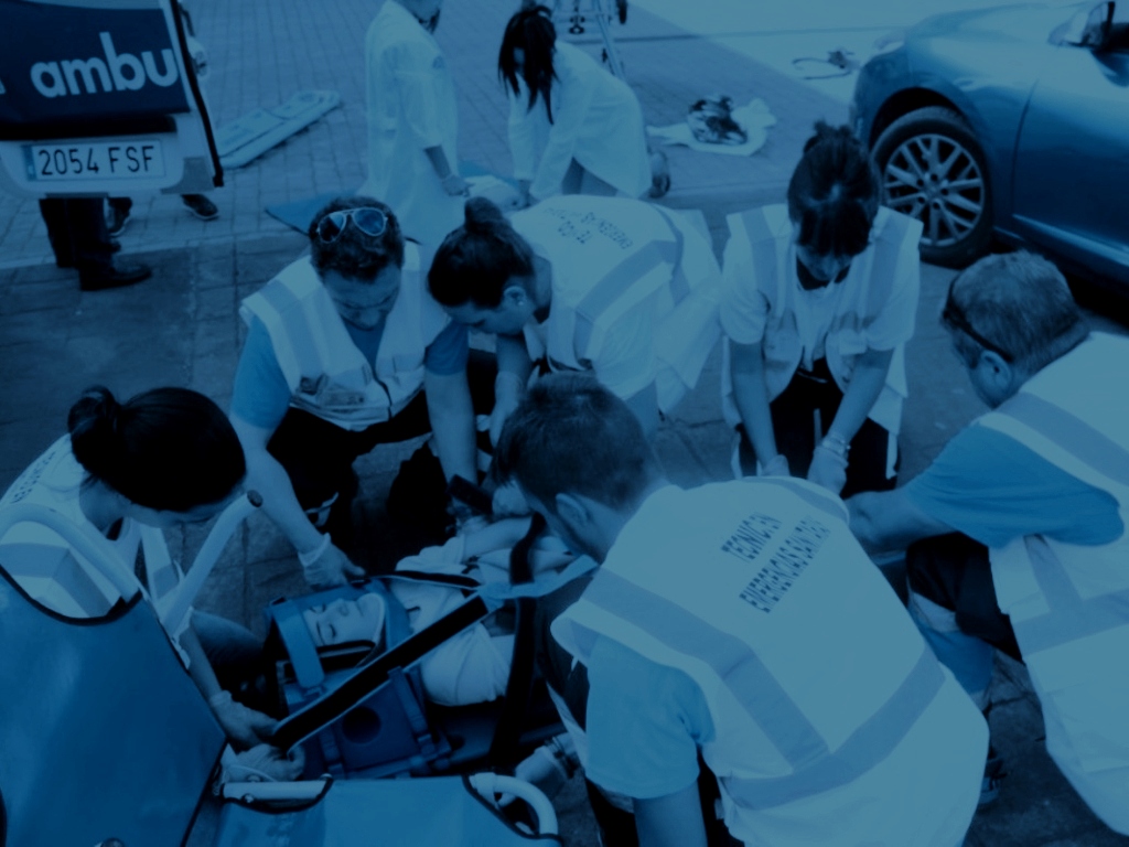
Evaluación de riesgos y primeros auxilios en la Familia Profesional Agraria
AGA - Agronomy, Axis - Improvement of professional competence, Professional development ';
Zoom
Extensive livestock management
AGA - Agronomy, Axis - Improvement of professional competence, Professional development ';
Zoom


