

 ';
Zoom
';
Zoom
")
In this course, VET teachers will learn how to model buildings, terrain and objects from point clouds generated from terrestrial and aerial photographs (using drones) and how to manipulate these point clouds with AutoCAD and Revit.
Line of training: Professional development
Vocational Family: EOC, ENA and AGA

Dates
September 4, 5 and 6

Duration
12 Hours of Presence
09.30 – 13.30 h

Squares
150

Advisor: Soledad Latorre Usán
Other related activities
';
Zoom
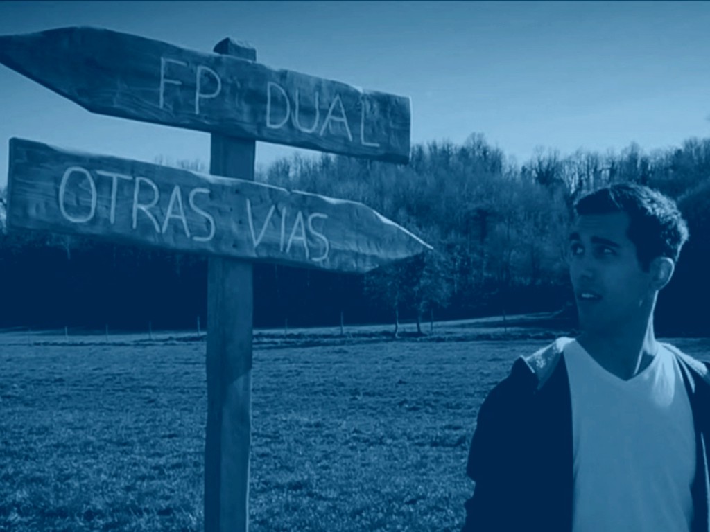
Jornada Conexión Aula- Empresa. Tutores que transforman talento
Coordinación de programas, Eje - Mejora de la competencia profesional, Emprendimiento, FP Dual, Orientación profesional y empleo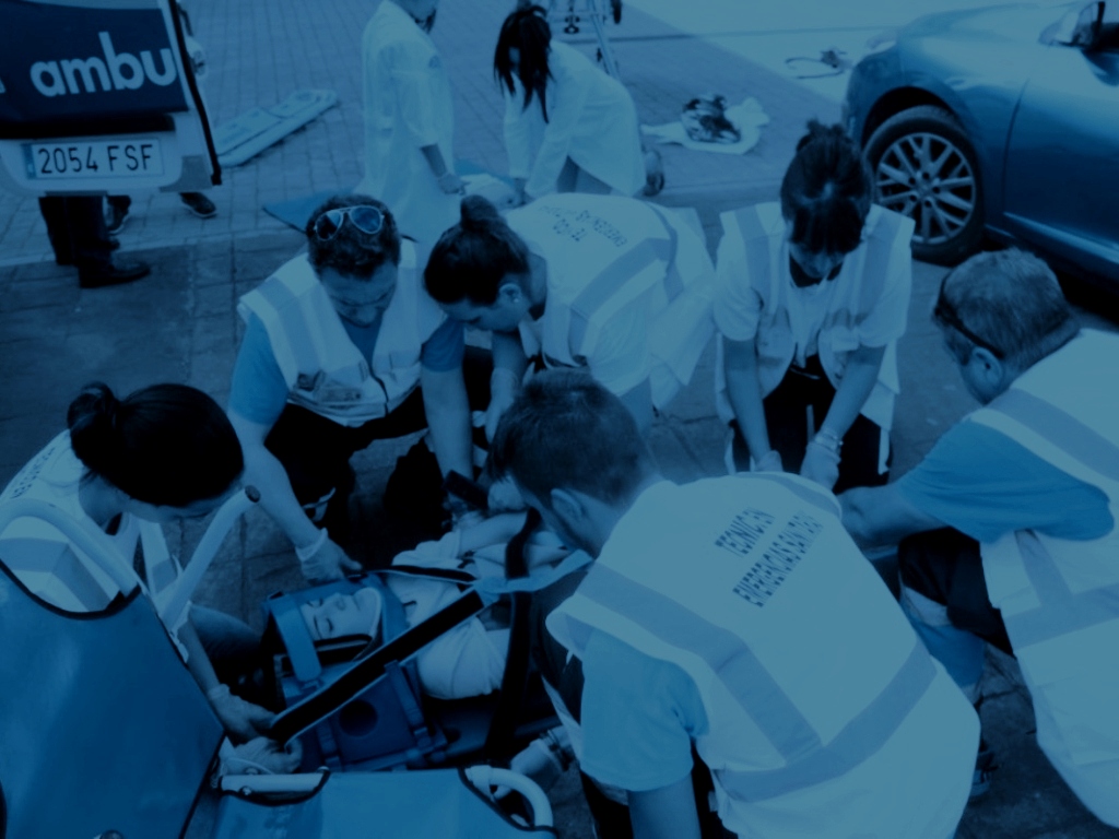 ';
Zoom
';
Zoom
Jornada primeros auxilios (Teruel)
Axis - Improvement of professional competence and professional development ';
Zoom
';
Zoom